






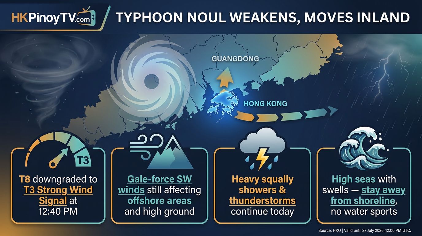
Hong Kong authorities announced they will issued the Standby Signal No. 1 at 8:40 p.m. Friday as Severe Tropical Storm Noul approaches the region, bringing the threat of intensifying winds and heavy swells to the South China Coast.
The Hong Kong Observatory reported that as of noon Friday, the cyclone was centered approximately 480 kilometers (300 miles) north-northeast of Manila. The storm is moving west-northwest at about 26 kph (16 mph) across the Luzon Strait and is expected to gain strength as it enters within 800 kilometers of Hong Kong this evening.
While Saturday is forecast to remain very hot, meteorologists warned that local winds will pick up as the system tracks toward the coast of Guangdong province. Current projections suggest Noul is most likely to make landfall between the cities of Huizhou and Jieyang early Sunday.
“Local winds will strengthen as the typhoon intensifies and edges closer,” the Observatory said in a statement, advising the public to avoid shorelines and refrain from water sports due to anticipated heavy swells.
The forecaster noted that the storm’s exact distance from the Special Administrative Region remains uncertain. Monitoring is ongoing, and officials indicated that higher warning signals may be issued Saturday afternoon.
The decision to upgrade the warning level will depend on Noul’s eventual intensity, the proximity of its gale-force wind zone to the city, and shifts in local wind conditions.